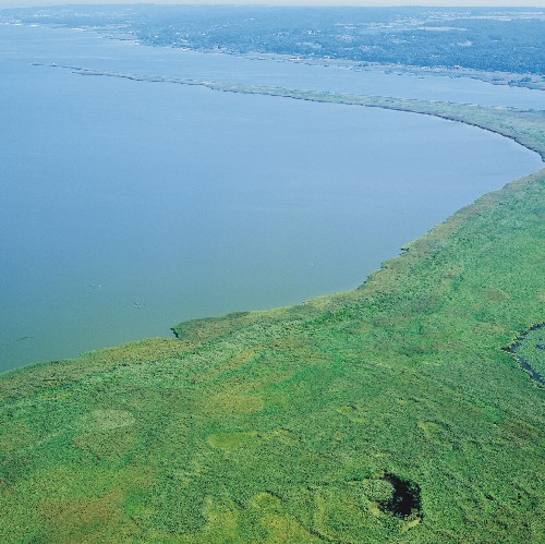
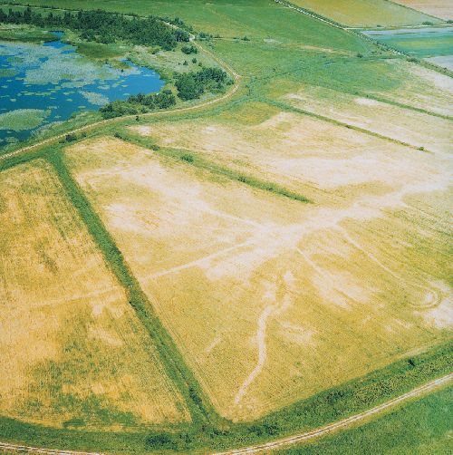
through aerial photography
Jerzy Miałdun, Izabela Mirkowska
Carrying comminuted rock material, waters running off the Elbląg Upland formed alluvial cones where human settlements were located. Ports established at the shore were typically associated with local brickyards. After the production ceased, the abandoned ports silted up due to the sediment movement by currents caused by north-west winds.This process can be followed on aerial photographs taken at time intervals.

